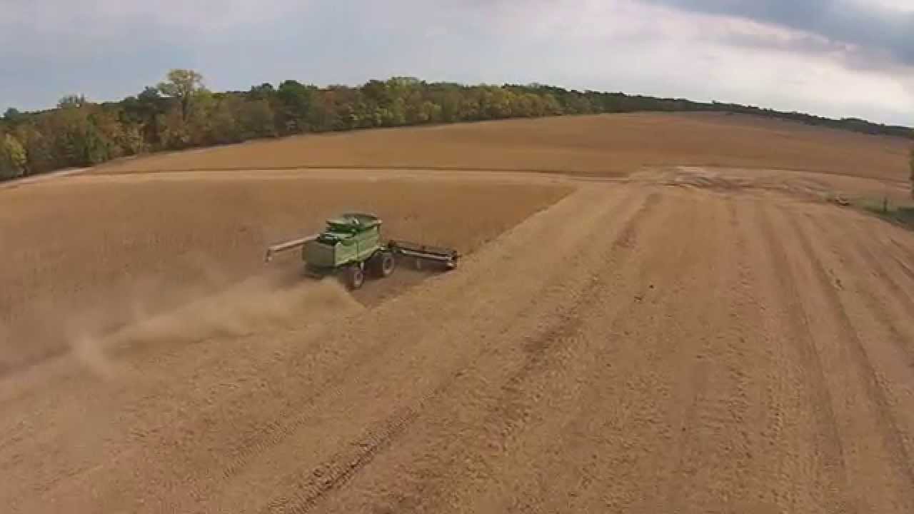
Oerke Soybean Harvest 2014
November 25, 2014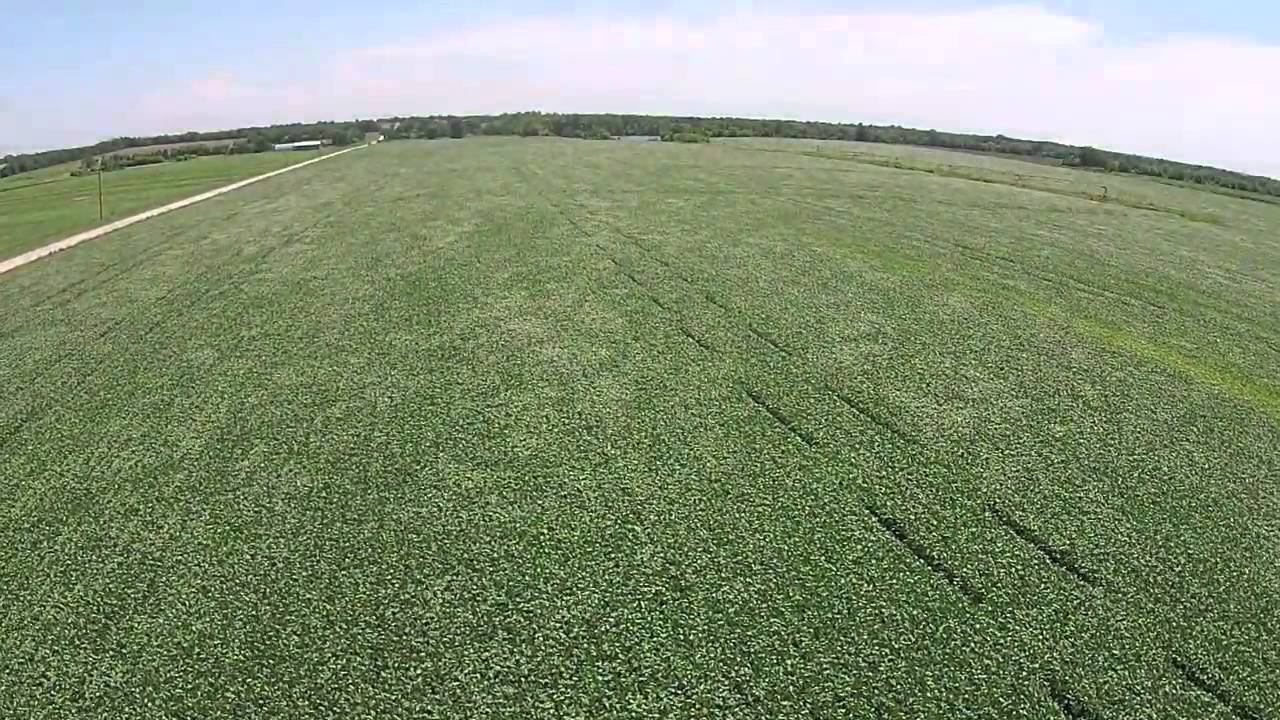
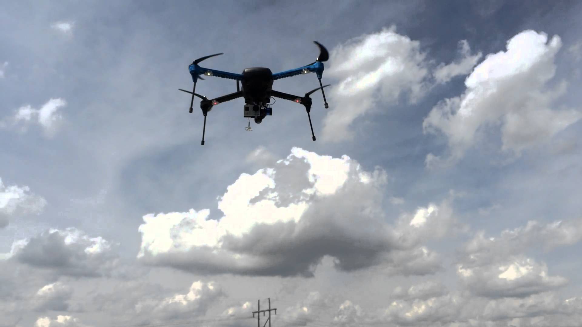
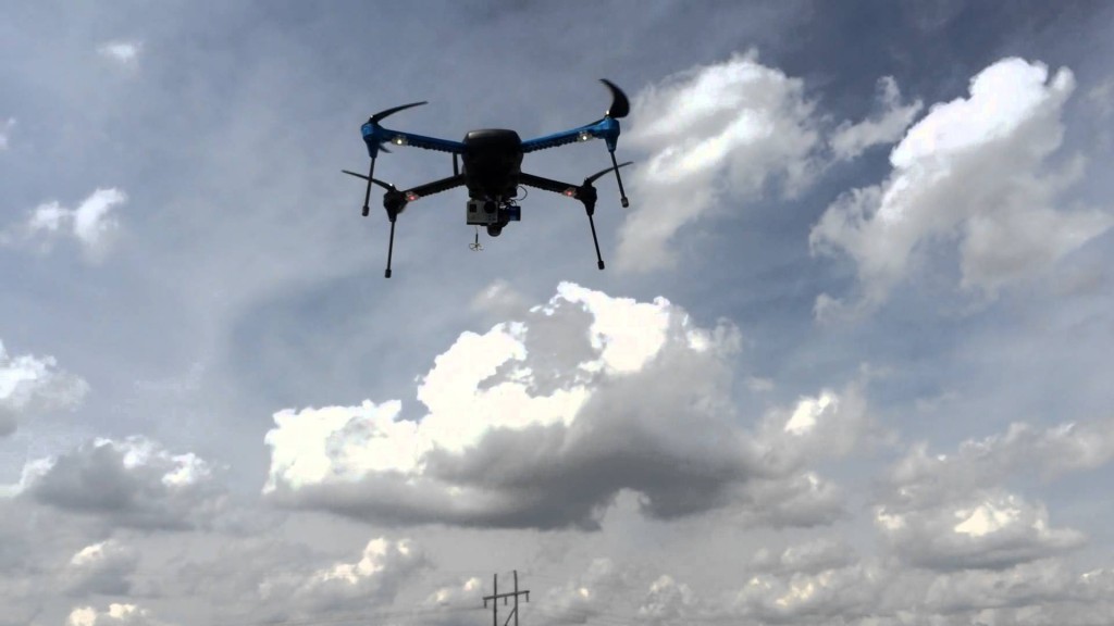
AgriScout Ready-To-Fly UAV
April 24, 2015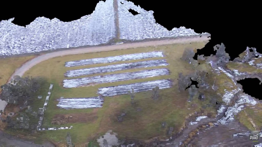
https://www.youtube.com/watch?v=7Qz3phIbPg4
Testing new mapping software that will enable a farmer to get real time information and measurements of their facilities and operation. Flight covered 160 square meters and took 10 minutes.